Orientation
Map of Egypt
A map of Egypt puts almost everything visitors come for on a single line: the Nile, running south from Cairo to Aswan, with the Red Sea a few hours east.
How far apart things are
| From | To | By air | By road | In practice |
|---|---|---|---|---|
| Cairo | Luxor | 1h 05m | 9h | Fly. The road is long and dull. |
| Luxor | Aswan | 45m | 3h 30m | Most people sail this leg over three or four nights. |
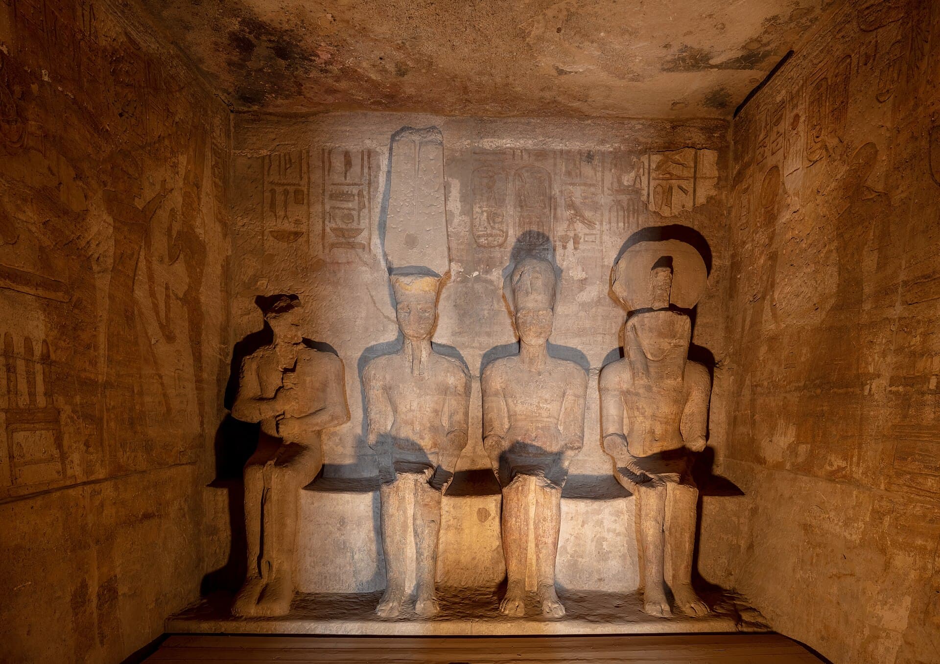
| Aswan | Abu Simbel | 45m | 3h | Convoy departs Aswan around 4am. |
| Luxor | Hurghada | — | 4h | The standard transfer for Nile-plus-Red-Sea trips. |
| Cairo | Bahariya | — | 4h | Gateway to the White Desert. |
| Cairo | Alexandria | — | 2h 45m | Also a comfortable train. |
The river itself runs south to north, which is what makes Egyptian geography read backwards — more on where the Nile is and which way it flows.
The places on the map of Egypt
- Cairo — Lower Egypt
- Luxor — Upper Egypt
- Aswan — Upper Egypt
- Abu Simbel — Nubia
- Hurghada — Red Sea
The country is a river with a desert around it
Egypt covers about a million square kilometres. Somewhere around 95 per cent of that is desert with essentially nobody in it. The population, well over a hundred million people, is packed into the Nile valley and the delta, plus the canal cities and a thin line of Red Sea and Mediterranean coast. In parts of the valley the green belt is only a few kilometres wide. You can stand in a field of sugarcane and see the desert edge in both directions.
This is not a historical curiosity. It shapes travel now. There is one main north-south corridor, and nearly everything you have heard of sits on or near it. Off that corridor, distances get long, services thin out and journeys stop being casual. When someone says a place in Egypt is remote, they usually mean it is off the river.
Why Upper Egypt is in the south
The naming reads backwards to most visitors. Upper Egypt is the south, Lower Egypt is the north. The logic is the river, not the map. The Nile flows south to north, so upstream is up: Aswan and Luxor are Upper Egypt, Cairo and the delta are Lower Egypt. Once you accept the river as the reference frame rather than the compass, Egyptian geography becomes much easier to hold in your head.
The two halves genuinely differ. Lower Egypt is the delta: flat, densely farmed, humid in summer, with Cairo at its apex and Alexandria on the coast. Upper Egypt is the narrow valley: drier, hotter, more conservative in dress and manner, and where most of the pharaonic temples still stand. The dryness is why they survived. The delta had monuments too, but wet ground and heavy settlement destroyed most of them.
The tourist corridor, and what sits outside it
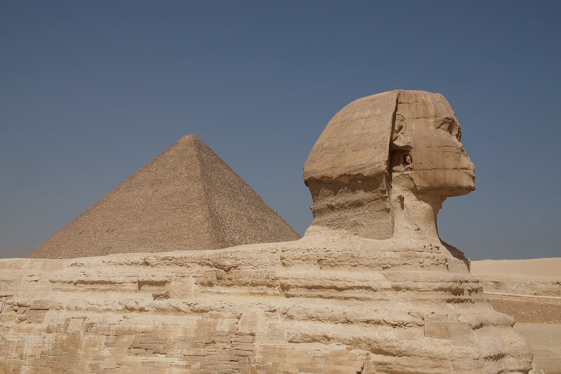
In practice the standard Egypt trip runs along a line: Cairo and Giza at the top, then a jump south to Luxor, then Nile boat or road down to Aswan, sometimes a further hop to Abu Simbel near the Sudanese border. Add Hurghada or Sharm el-Sheikh if you want beach time. That is the corridor, and it is well served, with plenty of guides, hotels and transport.
Outside it, Egypt gets quieter fast. Middle Egypt, between Cairo and Luxor, sees a fraction of the visitors: Amarna and Beni Hasan sit near Minya, and further south, still short of Luxor, are Abydos and Dendera. Those two are straightforward day trips from Luxor. The Minya sites need more planning and, depending on the route, a police escort. The Western Desert oases, the Mediterranean coast west of Alexandria and the far south all fall outside normal infrastructure. Worth doing, but not on a first week.
The Western Desert and the oases
West of the Nile the Sahara runs to the Libyan border. Within it sit a handful of depressions where groundwater surfaces: Bahariya, Farafra, Dakhla and Kharga in a rough arc south-west of Cairo, and Siwa far out near the Libyan frontier. They are real towns with palm groves, hot springs and their own dialects, not desert camps.
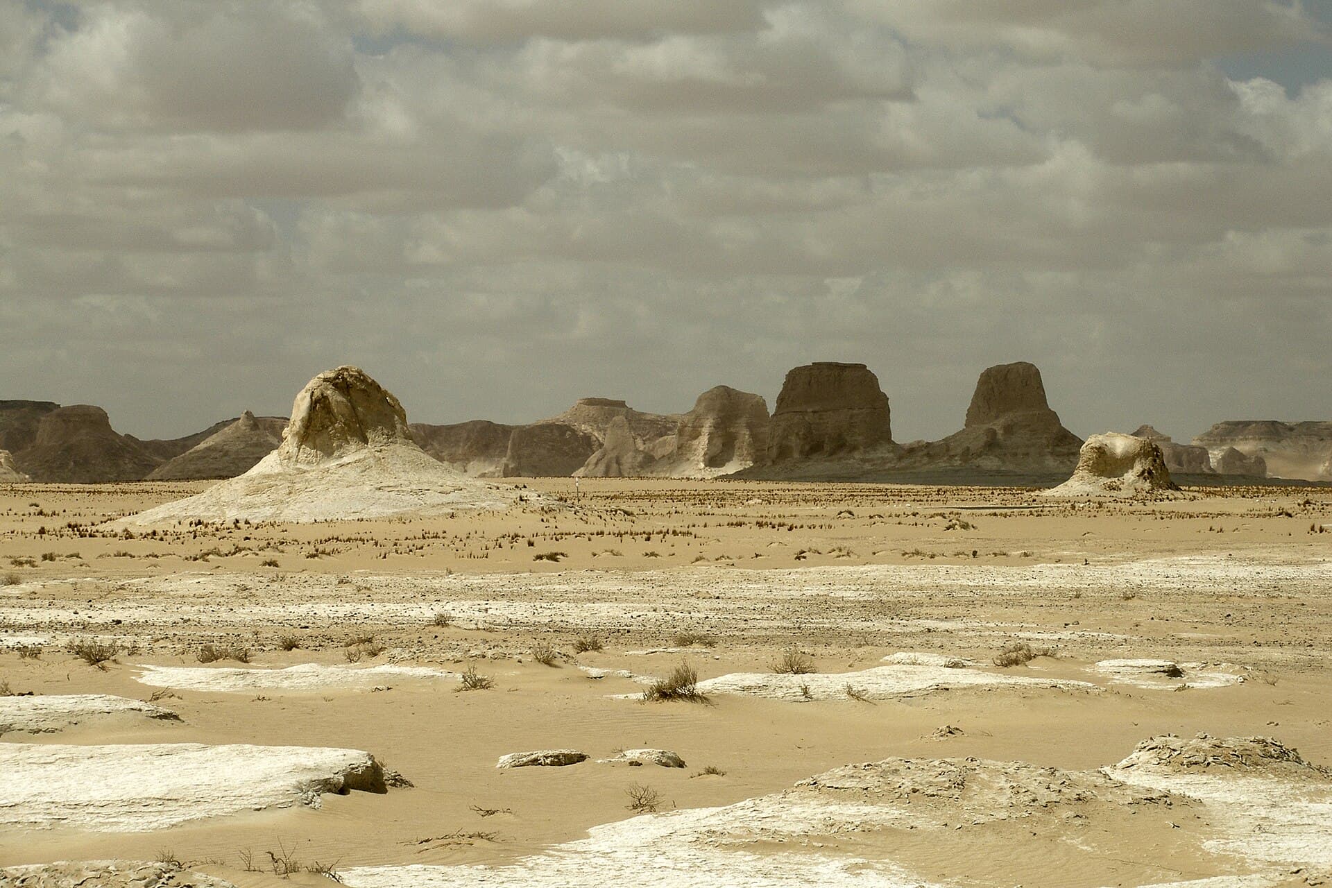
Siwa is the one most people ask about. It is beautiful and genuinely different, with an oracle temple, salt lakes and a Berber-influenced culture. It is also about eight to ten hours from Cairo by road, and it connects poorly to the Nile valley, so you go there deliberately or not at all. Bahariya is the usual access point for the White Desert, a chalk landscape best seen overnight. Access and routing in the western desert change with security conditions, so check before you commit dates.
The Red Sea coast and Sinai are separate worlds
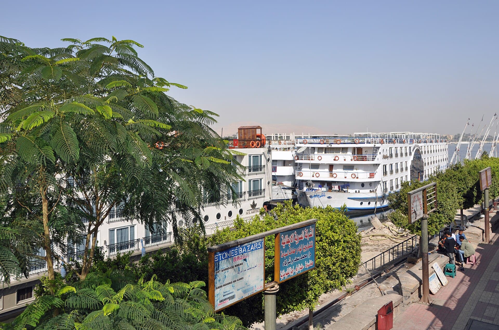
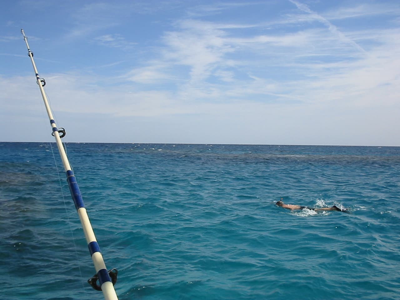
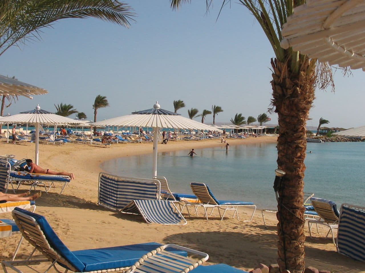
The Red Sea coast runs south from Suez along the eastern desert: Hurghada, with El Gouna just north of it, then Safaga, Marsa Alam and quieter stretches further down. These are dive and beach destinations, developed in the last few decades, largely disconnected from the culture of the valley. Hurghada is the pragmatic choice because it has the airport and the road to Luxor, about 290 kilometres and roughly four hours across the desert.
Sinai sits east of the Suez Canal, a triangle between two gulfs, and is geographically part of Asia. South Sinai holds Sharm el-Sheikh, Dahab, and inland the monastery of Saint Catherine below Mount Sinai. Dahab is smaller and cheaper than Sharm and suits people who want diving without resorts. North Sinai is a different matter entirely and is not a tourist region. Treat the peninsula as two areas that share a name, and read current advice for the whole of it before booking.
Read distances as time, not kilometres
A number on a map tells you less here than it would in Europe. Motorway-standard road between Cairo and Alexandria moves at European pace. The valley road between Luxor and Aswan does not: it passes through towns, carries agricultural traffic and is interrupted by checkpoints. Aswan to Abu Simbel is about 280 kilometres of empty desert road, roughly three and a half hours, and there is nothing along it.
Checkpoints are the main variable. On intercity routes you should expect document checks, and occasionally a wait while a vehicle ahead is processed. Formal convoy requirements have eased in most of the country compared with a decade ago, but escorts and fixed departure windows still apply on certain desert and Sinai routes, which means your departure time may not be your choice. Add a buffer to any leg where you have a flight at the end of it.
Which legs to fly
Cairo to Luxor or Aswan is the clear case. Driving takes most of a day, nine hours or more, and shows you almost nothing. The flight is about an hour and runs frequently. The sleeper train is the honest alternative: around ten hours to Luxor and longer to Aswan, comfortable enough rather than luxurious, and it saves a hotel night. Take it if you like trains. Do not take it expecting scenery, because you will be asleep for most of it.
Aswan to Abu Simbel is a genuine choice. Flying is quick but the schedules bunch around the temple's peak hours, so you land in a crowd. Driving takes three and a half hours each way and lets you go early or late. Within the valley, Luxor to Aswan by road is straightforward and there is no reason to fly it, though the river is the better way to cover it if you have the days.
Fitting the shape to a real itinerary
The geography does the planning for you if you let it. Cairo needs at least two full days, more if you want the Egyptian Museum and Grand Egyptian Museum done properly rather than at speed. Then fly south. Luxor holds two to three days of temples and tombs on both banks. Luxor to Aswan by boat takes three or four nights depending on direction, and that stretch of river is the part of Egypt that most rewards slowness.
A week gets you Cairo plus the Luxor to Aswan corridor, and little else. Ten days adds Abu Simbel comfortably or a few days on the Red Sea. Two weeks lets you reach the Western Desert or Middle Egypt without rushing. Trying to combine Sinai, the oases and the full Nile run in ten days means spending your holiday in transit. Pick one direction off the river, not three.
When the map matters more: heat and season
Latitude is a practical planning input in Egypt, not trivia. Aswan and Abu Simbel sit well south and are meaningfully hotter than Cairo. In high summer the far south can push past 40C in the afternoon, which shortens what you can realistically do outdoors to early mornings and evenings. The valley is dry, so it is bearable in the shade, but sightseeing at midday in July in Aswan is not enjoyable and you should not plan it.
The delta and the Mediterranean coast behave differently. Alexandria is humid, gets real winter rain and can be grey and windy from December to February, which surprises people expecting uniform desert weather. Sinai and the Red Sea stay warm and swimmable through winter, which is why they carry the December to March season. October to April is the comfortable window for the Nile corridor, and it is also when prices and crowds peak.
Common questions
How long does it take to drive from Cairo to Luxor?+
Roughly nine to eleven hours on the desert road, longer if you stop. Almost nobody does it. The flight is about an hour and runs several times a day. Driving that leg burns a day of your trip and shows you very little: the desert road is monotonous, and the interesting stretch of Nile between the two cities is better seen from a boat, not a car window.
Is Egypt bigger than people expect?+
Usually, yes. It is about a million square kilometres, roughly four times the size of the United Kingdom, but the inhabited part is much smaller than that suggests. The mental correction most people need is not about area but shape. Egypt is long. Cairo to Abu Simbel is roughly the distance from London to Madrid, and all of it sits inside one country.
Can you drive from Hurghada to Luxor?+
Yes, and plenty of people do. It is about 290 kilometres across the eastern desert, roughly four hours, a little more with checkpoints. The road is decent and the drive is dull but straightforward. It is the standard way to add a couple of days of temples to a Red Sea holiday. Done as a same-day return, most of the day goes on the road.
Do you still travel in police convoys in Egypt?+
Less than you would think from older guidebooks. The formal convoy system that once governed movement in the south has largely been relaxed, though escorts and fixed departure times still apply on some desert routes and in parts of Sinai. What has not gone away are checkpoints. Expect stops, document checks and occasional waits on intercity roads throughout the country.
Where is Sinai on the map, and is it part of Egypt?+
Sinai is the triangular peninsula east of the Suez Canal, between the Gulf of Suez and the Gulf of Aqaba. It is fully part of Egypt. Geographically it sits in Asia rather than Africa, which is why Egypt is sometimes described as spanning two continents. Sharm el-Sheikh sits at its southern tip, Dahab further up the eastern coast.
Which parts of Egypt are worth flying to rather than driving?+
Cairo to Luxor or Aswan, and Cairo to Abu Simbel via Aswan, are clear flying legs. Aswan to Abu Simbel is a judgement call between a short flight and a three-and-a-half-hour drive. Everything within the Luxor to Aswan stretch, plus Hurghada to Luxor, is comfortable by road. Cairo to Alexandria works either way; the train is reasonable.
Official sources
Entry rules, opening hours, security advice and exchange rates all move. Check them at the source, not here.
- Egyptian Ministry of Tourism and Antiquities ↗The ministry lists which tombs and temples currently open.
- UNESCO World Heritage: Egypt ↗The official listings, including the inscription reasons for each site.